
Egeon Technology will present its monitoring system for emergency situations at 4YFN
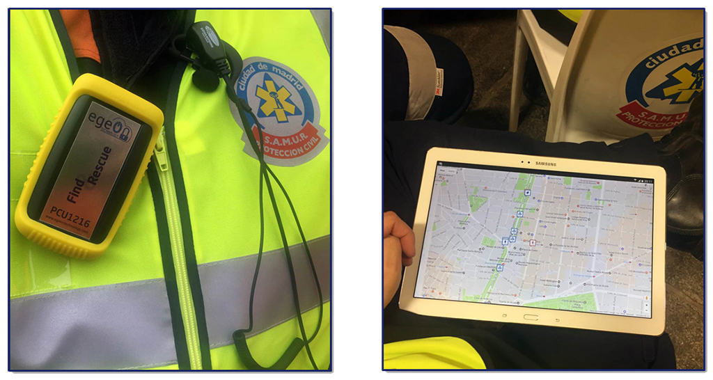
Find and Rescue allows controlling the field deployments of emergency teams. Through a portable device carried by each operative, the coordinating center can know their location, and in case of an incident they receive an alarm signal, which speeds up the support and assistance from other personnel.
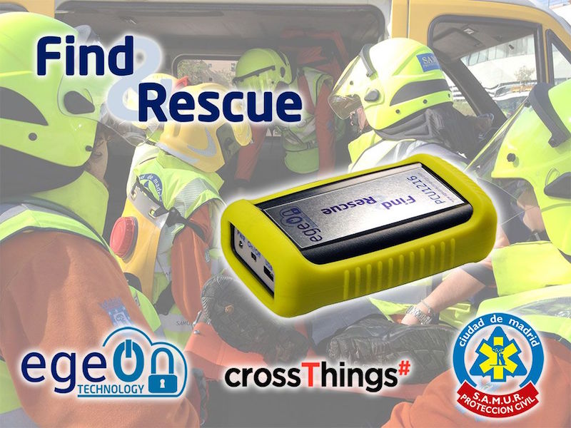
Egeon Technology will present at 4YFN (4 Years From Now) its telematics management system for emergency teams Find & Rescue, developed in collaboration with Samur Civil Protection of the city of Madrid and with the technological support of crossThings.
4YFN is an international event organized by Barcelona Mobile World Capital during the GSMA Mobile World Congress (MWC), which aims to connect startups, investors, and corporations, and will take place at Fira de Montjuic in 27 de febrero y el 1 March.
 At its stand (Pavilion M8- 03.3) Egeon Technology will demonstrate the functionalities of this control and management system for professional teams operating in risk areas, environments where it is essential to know precisely both the geographical location and the status of each of the personnel deployed on the ground.
Through a portable device carried by each operative, the coordinating center of the deployment and/or the headquarters know at all times their location, which allows showing in real time the distribution on the ground of all deployed personnel, streamlining management and decision-making by those responsible.
This solution is made up of IoT devices, personal autonomous units, and an event management software platform. The personal autonomous unit incorporates a series of sensors to determine its geographical location and detect movement, impacts and position. Cuando se produce un movimiento, caída, impacto… transmite los valores medidos a la plataforma de gestión de eventos a través de redes GPRS, 3G/4G, Sigfox u otros sistemas. Esto permite que su portador pueda ser apoyado o atendido in situ por otros efectivos con mayor celeridad.
Cada dispositivo emite en tiempo real la información procedente de sus sensores a una plataforma de gestión de eventos, donde se procesan y muestran sobre un mapa el estado y la ubicación de todos los efectivos desplegados en uno o varios puntos simultáneos, lo que permite gestionarlos tanto desde un único centro coordinador como por el responsable en campo de cada despliegue.
¿Te gustó este artículo?
Subscribe to our NEWSLETTER and you won't miss anything.